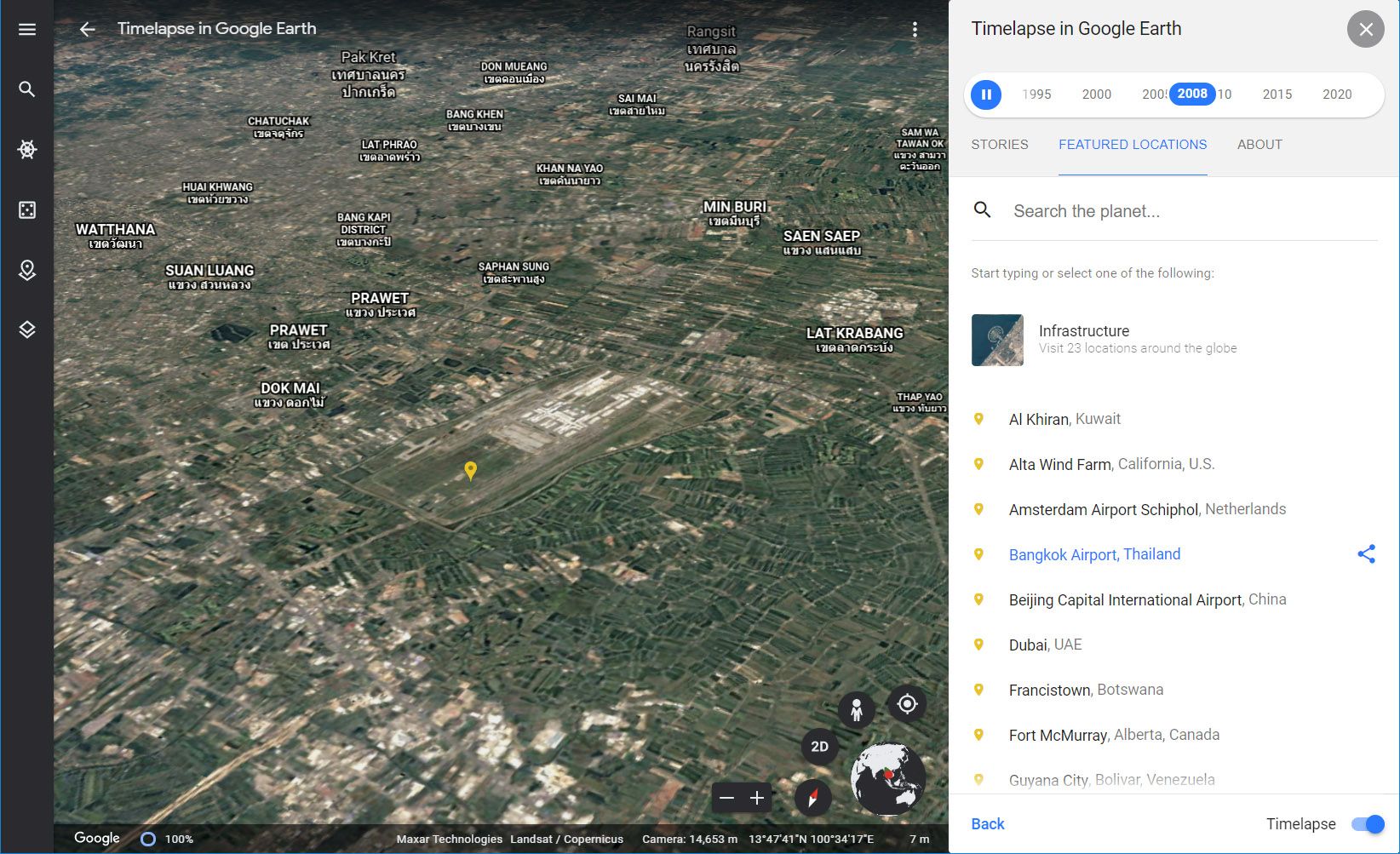
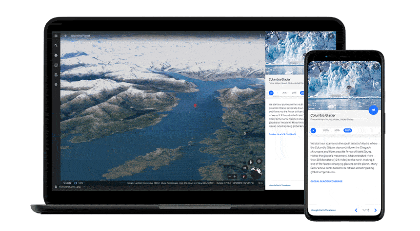
Google is calling its expanded Timelapse feature "the biggest update in years" to its Earth 3D mapping system. The tool allows you to overlay historical satellite photography on the 3D topographical maps, watching years of change to the landscape in just a few seconds. You can see dramatic shifts to populated cities, or the geological progression of waterways and landmasses. But of course the most obvious application of this tool is viewing climate change in a much more immediate way.
The Timelapse tool has been available for the last three years, but this week's additions are all about highlighting and explaining the data in more relatable ways. You can use the tool to spin the dial back anywhere on Earth, but some places have more and better photos available than others. Google has five showcases of some of the most dramatic examples, covering the rapid destruction of worldwide forests, intense modification of land for energy production, melting glaciers and ice caps, and unrestrained urban sprawl.
It's not all downers. One collection shows more conventional natural changes, like shifting rivers and sand dunes, and there are more hopeful human expansions like nature preserves and solar energy farms that pop up out of nowhere. But the biggest part of Google's examples for the Timelapse tool are inescapably bleak, as anyone might expect. Outside of the guided tours, there are 800 prepared videos (on YouTube and available for download) of the best Timelapse examples at developers.google.com/earth-engine/timelapse/videos.
Google says that creating the 20-petabyte Timelapse collage required more than 24 million images stretching over 26 years, with two million processing hours in the company's data centers. It claims that the final result is the largest video of the planet in history, made possible by the US and EU's open access to satellite data and cooperation with Carnegie Mellon's CREATE Lab. Timelapse will be updated with new and more up to date imagery "throughout the next decade."


