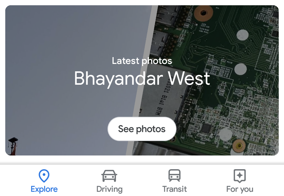
With a redesign to bring it in line with the latest Material Design guidelines and a renewed focus on curated content, Google Maps is now a very different beast. The latest addition, spotted by one of our readers, is a Photos section in the Explore tab.
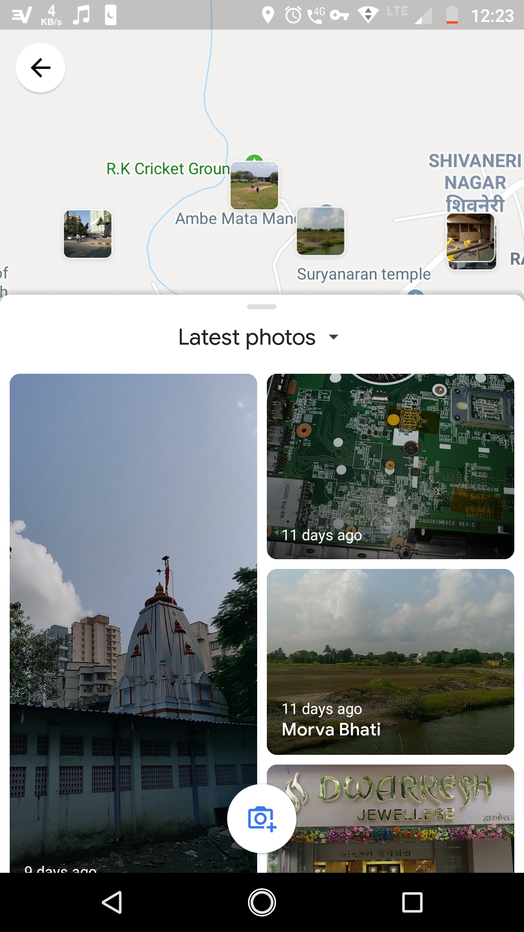
This new card surfaces the 'Latest photos' for the area you're currently in, presumably sourced from those uploaded by users including local guides when out and about. Tapping it takes you to a split-screen view that shows each photo and its location on the map, so you can work out exactly where it was taken.


This could be a useful feature for sightseeing expeditions and might give you a better idea of where you want to go ahead of time. There's also a floating action button so you can upload your own photos if you wish. It's not clear if this is just in testing at present or if it's about to roll out more widely. I don't see it on my devices yet, but maybe you'll have more luck.
Thanks: Himanshu Singh