latest
Google Maps goes to extreme lengths to create a detailed Immersive View
Cameras on planes, cars, backpacks, snowmobiles, you name it
Google Maps has been working on enhancing the navigation experience through recent changes to the color scheme for water bodies and green zones, and a change to the navigation UI which hasn’t rolled out yet. However, one of the biggest changes in our favorite navigation app came in February last year when Google introduced Immersive View for routes. It’s been a year since its launch, but we finally get to see how the company made it work.
How often does Google Maps update Street View?
Just how outdated or up-to-date is your city's Street View
Street View changes how we perceive locations around the world. With 3D imagery, we can confidently plan our trips. Google Street View launched in 2007 and began with a select few cities in the US. Today, Google Street View has captured over 220 billion images across 100 countries to bring 360 images to Google Maps, ranging from individual streets to notable landmarks. Now you can bring up Street View from within Google Maps to get all onsite details of any place (with Street View activated). But the question is: how often does Google Maps update Street View, and when can you expect the next update? You can find all these details on any trusty Android tablet, phone, and web browser.

Google Maps is a powerful tool for navigating the world around you. It provides detailed layouts to guide you through known and unknown territory, reducing the chances of getting lost. Also, Maps takes away the discomfort of asking strangers for directions and allows you to share your real-time whereabouts with loved ones. One of Maps' most interesting features is Street View, which allows you to explore streets in a given location as if you were physically there.

Google Street View app will shut down in 2023, Photo Paths will end with it
You likely already use Google Maps for these features
The Google Street View app for both Android and iOS is set to be discontinued early next year, and it’ll be removed from app stores in the coming weeks. First spotted by 9to5Google hidden in a recent update for the app, a Google spokesperson has now confirmed to The Verge that the app is being discontinued from March 2023.
Google Maps tips and tricks: 10 things you need to try now
So much more than just driving directions
If you wanted to go somewhere new before the invention of GPS apps, you had to unfold a large sheet of paper covered with names and symbols; then, after you found your way, you either wrote down your intended path on paper or committed your route to memory. Today, we have Google Maps (and phones you can unfold!), which helps a billion people a month find out where they are and gets them where they want to go.

Google to expand Street View user contributions with Photo Path
The new feature was spotted in an APK teardown
Google Street View is a handy tool that can help you get accustomed to a place even before visiting it. Most of what you see is shot using dedicated cars with multi-cam setups. It was only recently that the public was allowed to contribute to the imagery. Seemingly wanting to increase public contributions for even better coverage, Google is preparing yet another feature called Photo Path.

Google now lets everyone contribute to Street View imagery
Limited to a few locations for now, but expanding later
Read update
Street View is one of the most useful features that Google created to help people navigate via Search and Maps, and now its availability is about to rise dramatically. Google has announced that it's allowing you to help capture Street View data without a special 360° camera. The beta is limited to a few locations in the beginning, but if everything goes well, many more places might soon be explorable through user imagery.

Google Maps Street View getting AR-style markers for points of interest
Letting you discover local businesses while browsing the world first-person
Read update
Google Maps is far more than a tool we use just for finding our way around, and there's a huge discovery component to it as well — who hasn't scrolled around Maps looking for a new restaurant to try out? And while the standard overhead view is plenty useful, sometimes you want to really immerse yourself in a place with a first-person Street View experience. So far, though, navigating Maps in Street View has come at a price, as you wouldn't see those discoverable markers for businesses and points of interest. Now that's finally changing, as Google deploys an AR-style overlay that bring place markers to Street View.

Take a world tour from your couch with these apps
Walk along streets, enjoy 360 views, and discover new places
With all of us stuck at home because of the Coronavirus pandemic, a supermarket run is starting to feel like the biggest excursion and adventure we can go on for the foreseeable future. Travel is out of the question, local trips are restricted in many countries, and even the simple idea of stepping out of your house is as daunting as an alcohol and paranoia party. I've been yearning for a vacation for a while — I even had a trip planned for May before all of this went down — but since that's been canceled now, I've found myself thumbing through old pics and 360 photos I've taken during my trips, reminiscing about better times and nicer places, then it occurred to me that I could do something similar but also discover new countries and cities I've never visited, all through the magic of Google Maps, Earth, and Street View. Let me to explain how you too can do that.

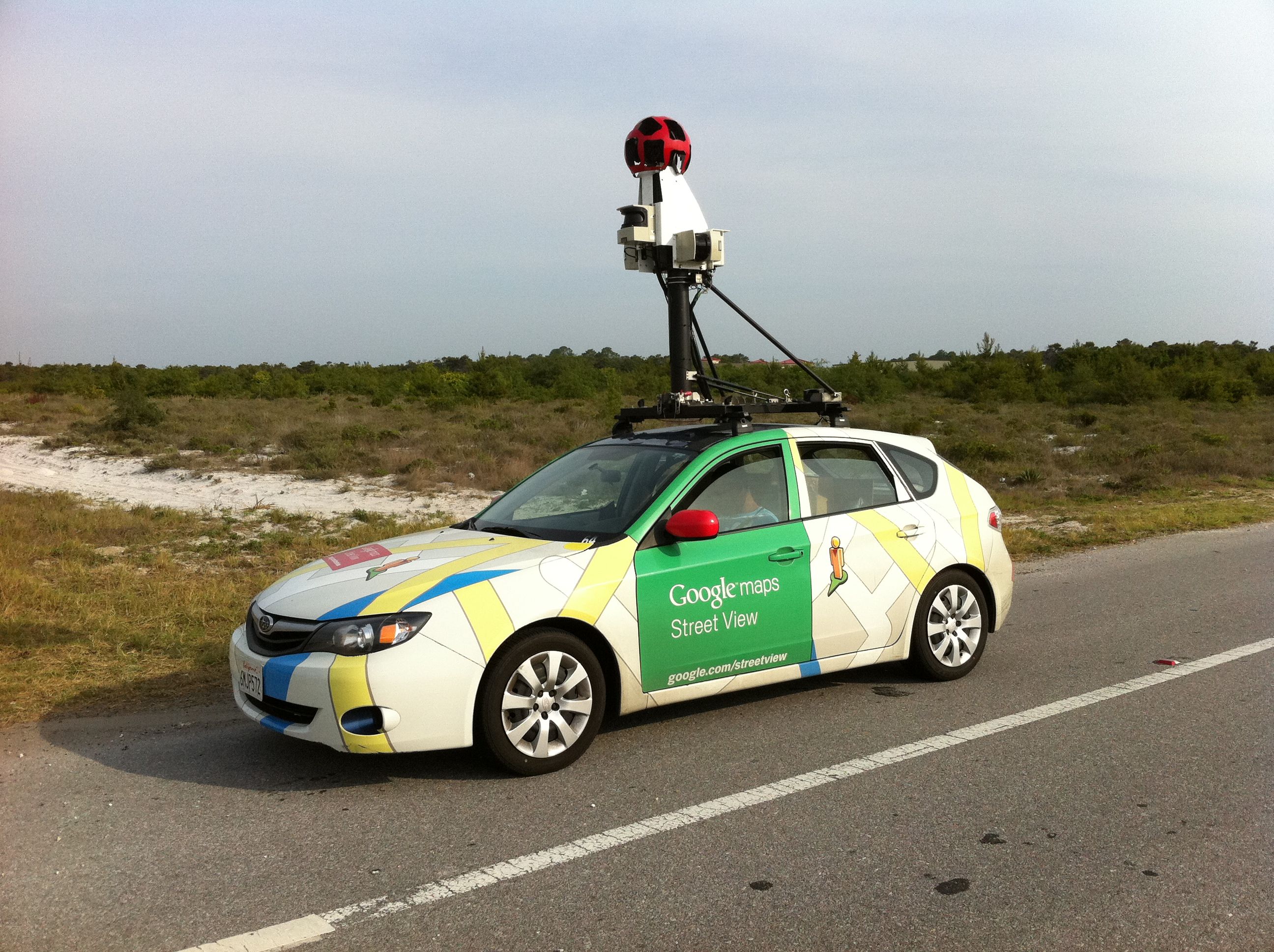
Google's Street View project is one of the largest collections of 360 panoramas images available for public use. While most images are taken with the easily recognizable Street View cars, for off-road collection a contraption called the Street View Trekker is used. Today, the Street View team is announcing an upgraded Trekker that has shed a few pounds and improved on image quality.
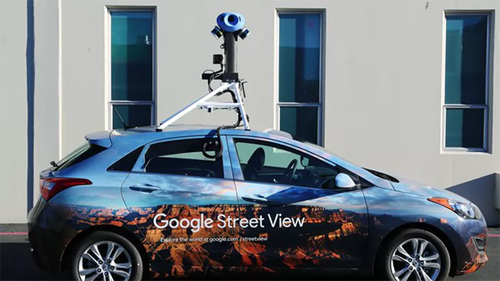
Eight years ago, Circuit City closed its remaining stores, Michael Jackson died, and Barack Obama became the 44th President of the United States. Eight years ago was also the last time Google's Street View cameras got a major upgrade. According to Wired, the company has started rolling out updated cameras to its fleet of picture-snapping cars.
I still remember when Google Street View was that pre-installed icon that I wished I could remove from my device but couldn't because it came as part of Google Maps. Now the exploration service is all grown up, living independently, and thanks to the spread of 360 cams and user-generated content as well as the addition of dozens of interesting photosphere collections from real to fictional, has reached 1 billion total installs on the Play Store.

With Google's Daydream View gearing up to official availability tomorrow, Google has been updating some of its apps to make sure they are compatible with the new virtual reality headset upon its arrival. We've already seen Google VR Services launch on the Play Store to lay the foundation, and now Street View is getting Daydream support.

Why go anywhere? That's the question some people find themselves asking as Google Street View comes to more places. Google lets you explore Machu Picchu, view the inside of sports arenas, visit historic locations all across Thailand, and check out the Batcave. Now the service is ready to show you some of the most stunning corners of Argentina.
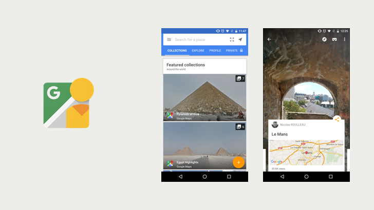
Update Wednesday has been and gone, but we'll let it pass, as an app that doesn't get all that much attention has been updated! v2.12 of Google Street View is rolling out now, with some new Photo Sphere features and other improvements.
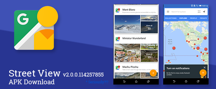
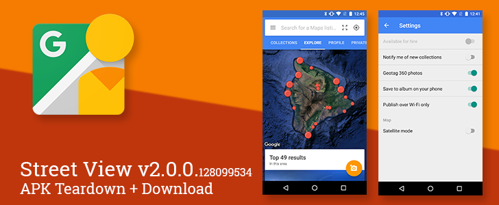
Street View is a fun digital tool for exploring the huge world we live on. An update to version 2.0.0.114257855 began rolling out earlier this week, and in addition to bringing far too many digits, it also has a few new features, a few visual tweaks, and improved support for spherical cameras. It looks like this one is rolling out pretty fast, but if you're in need of a download link, it's at the bottom of the post.

I have fond memories of Jordan. The hot temperatures and the desert environment didn't stop me from enjoying my 4-day tour of the country where I walked around the city of Petra and took a donkey ride back to the entrance because my feet hurt too much, went on a 4X4 drive around Wadi Rum and got sand everywhere in my clothes and shoes, floated in the Dead Sea and panicked when I figured that I couldn't swim back to shore but had to awkwardly paddle my body, got lost between the hookah café on the Aqaba beach, watched a Roman gladiator fight reenactment in Jerash, and visited what is believed to be the Baptismal Site of Jesus Christ. It's a great country and it deserves to be known for its rich culture and heritage.

Google Street View hit 2.0 back in September, and everyone who captures, uploads, and manages photo spheres cheered in unison. Performing any of these actions became easier after the app separated from Google Maps, but there is always room for improvement. Today, Google released a new version that adds a few features that will make life a little easier for doing certain things.


