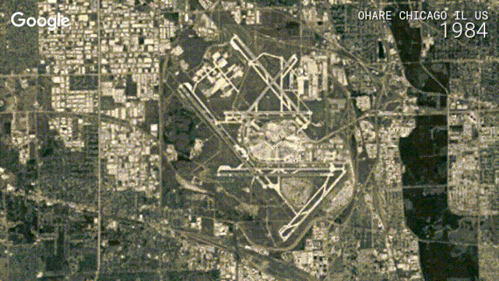
Google Earth has probably seen its usage fall pretty severely in the last couple of years - everyone I know who still uses or talks about it is of the older generation - but it still has some pretty cool features. One of those is Timelapse, the ability to see certain places change as time moves forwards. Today, Google is updating Timelapse with petabytes of new data, four layers of imagery, and sharper pictures across the board. This update utilizes imagery, new techniques, and resources used to update both Google Maps and Google Earth earlier this year.
[gfycat data_id="BlondSpitefulKillifish" data_autoplay=true data_controls=false]
Locations in Timelapse include a river in Tibet that visibly changes in the 32 years from the time the first picture was taken to the present day, and cities like San Francisco and Brisbane. In San Francisco's case, you can see the city grow about 2 miles deeper, which is pretty amazing, and also see Oakland Bay Bridge get constructed. A lake in Bolivia gets very visibly smaller, and glaciers melt as the planet warms. The amazing rate of industrial development in China is also documented, through a city being built in the timelapse. It's incredible to see such change condensed into a few short seconds. The videos can also be paused and scrubbed through specific years, which makes it easier to pin-point when exactly something happened.
[gfycat data_id="SadGiganticFerret" data_autoplay=true data_controls=false]
To make this visual treat, Google's engineers had to shift through three quadrillion pixels - the company tells us in its blog post that's three with twelve zeros after it (so... 3,000,000,000,000), which equates to five million satellite images. The new Timelapse is available now on the Google Earth Engine website.
Source: The Keyword (Google)